
Map-splaining
Written By: Haven Townsend
My experience “Map-splaining” the emotional landscape and cultural histories of fire island
I’m a bit of a map-splainer. A self-aware man-splainer when it comes to all things cartographic and geospatial. I’ve been working with geospatial information systems (GIS) since high school, and my internship at Fire Island National Seashore has provided no shortage of treasure hunts and rabbit-holes with the historic sites, ruins, communities, and wilderness that encompasses our park.
My title is GIS Member working specifically with Cultural Resources/Archaeology specializing in our sensitive and tested areas to optimize research and repair processes. For the past three years, I’ve worked extensively in creating public and educational tools engaging storytelling and indigenous knowledge in creating participatory educational GIS tools. The ways in which I’ve used and visualized feature layers in this medium is in stark contrast to the ways this project has called me to draw decades of past archaeology.
My first day, I dove into folders of past reports, giving me a phenomenal sense of the key interests of researchers, as well as conversation that would inform their conclusions and recommendations. For example, the Floyd Estate’s research draws from the complex history of slavery and indentured labor that has been critically interpreted in different lights over the years and as tribal partnerships have improved. This contrasts the folklore-esq research relating to the life stative stations and shipwrecks that build a rich story book of pirates and rescue missions for different ruins along the island.
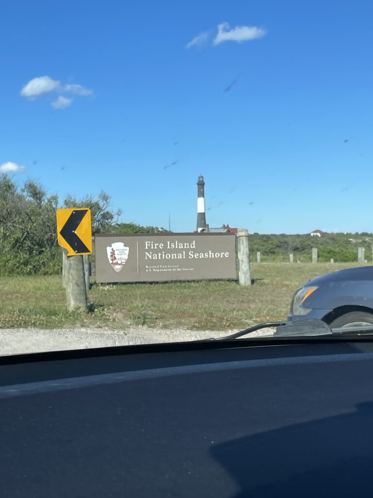
Me on the floor of our Patchogue headquarters zoning office, working on some tract and land transformation mapping background information.
Jump with me ahead some weeks into my internship. I’m wearing an orange life vest, gripping tight to a bio-technician scope, catching every third word of a conversation about symbolic fencing, as my hair is whipped in every direction by the bay-wind as we jet off to Sailor’s Haven. My seat on the back of the boat has successfully drenched my left sock after a particularly bumpy wake. One of the many perks of this site is the supervisors are always thinking of ways to get you the most diverse and wide-reaching experience as they’re able. The way this worked out for me is I got to spend the morning assisting with Plover Monitoring (a terribly adorable protected species of bird who nests in the beach of the island), then wrapped up the afternoon with a training team from all across the parks service learning how to use and derive geospatial data from ‘Lemmy’, the yellow GIS boat that maps the seafloor.
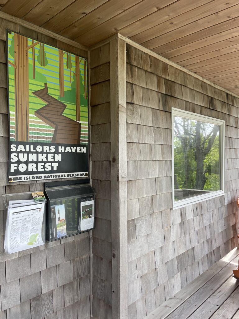
The visitor center at Sailors Haven (with whom I share my name)
I struggled to show and discuss what I do with the parks service as quite a lot of these materials are archaeologically sensitive. And as much as it’s an ego boost (and I take sincere responsibility for) being trusted to handle these resources with care, I’ve been stuck considering what people will want to read in a blog about my internship! A wonderful selling point is spending so much time on the beach. My walk to work accompanied by baby turkeys, or always only being a short distance from a day by the shore in the sun and sand; these are how I’ve made friends and family back home jealous.
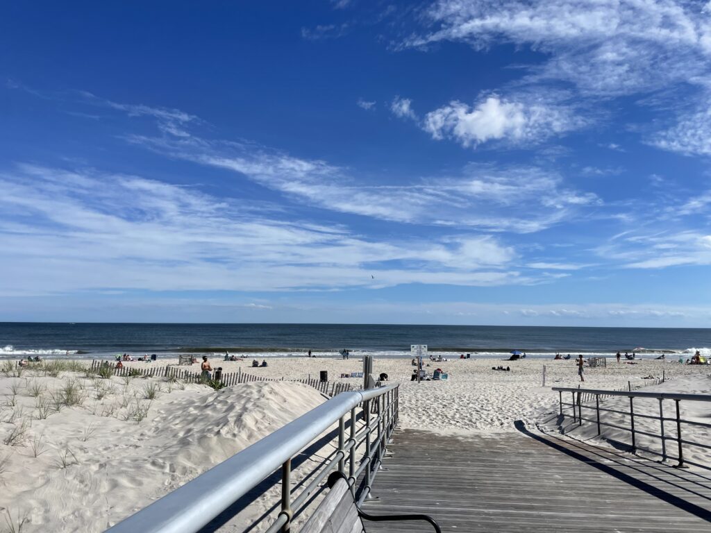
A day at the beach off the lighthouse
As this site is a barrier island, hurricanes, winter storms, and natural rolling of the island have created a unique climate-perspective not only from an archaeological sense but also when we consider infrastructure and housing here. From the mentors and team at the Park service, to the passionate residents and guests, I’ve been deeply inspired by everyone’s sincere responsibility they wear as they work to preserve, protect, engage, and build upon the dynamic histories and landscapes that make up Fire Island National Seashore. This appears as impromptu beach clean-ups at sunset, educational opportunities to learn about the Sunken Forest (one of only two maritime barrier island holly forests in the world), and impassioned conversations about coastal climate threat and preparedness… everyone is involved and responsible for taking care of this place.
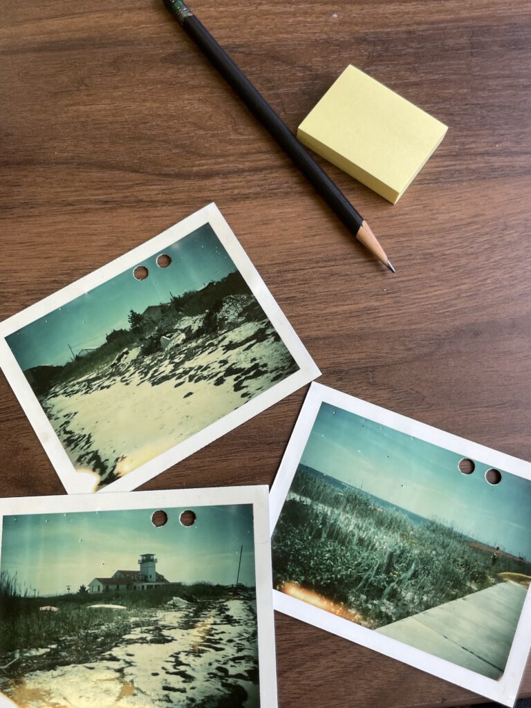
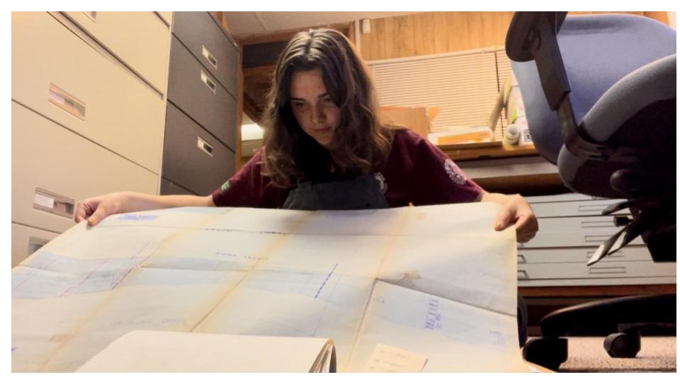
My note taking/investigative supplies trying to make sense of condemnations and zoning history on federal tracts between communities on the island.
I really do love maps. I’m also very critical about what they depict, erase, and who they perform ownership for. I interviewed for this position with a background in GIS/cartography ranging from fire ecology and environmental modeling to forced displacement and dispossession via specializing legal land issues. Having just passed the half-way point, I’ve learned so much about how the communities that live on the island come into collaboration and conflict with the park. Not only have I witnessed the landscape change from aerial photograph investigations, as well as a shared sense of history that residents participate with the park in engaging new people in. And so I wear my map-splainer hat with pride, and hope that I can continue to learn from and also teach with this spacial medium. Making more effective trail maps, or getting junior rangers involved in mapping what they see along the trail; these activities all engage conversations around how do we shift our understanding of this park as a resource, not to own, but rather a nuanced, dynamic, and sentimental landscape of living and non-living beings.